


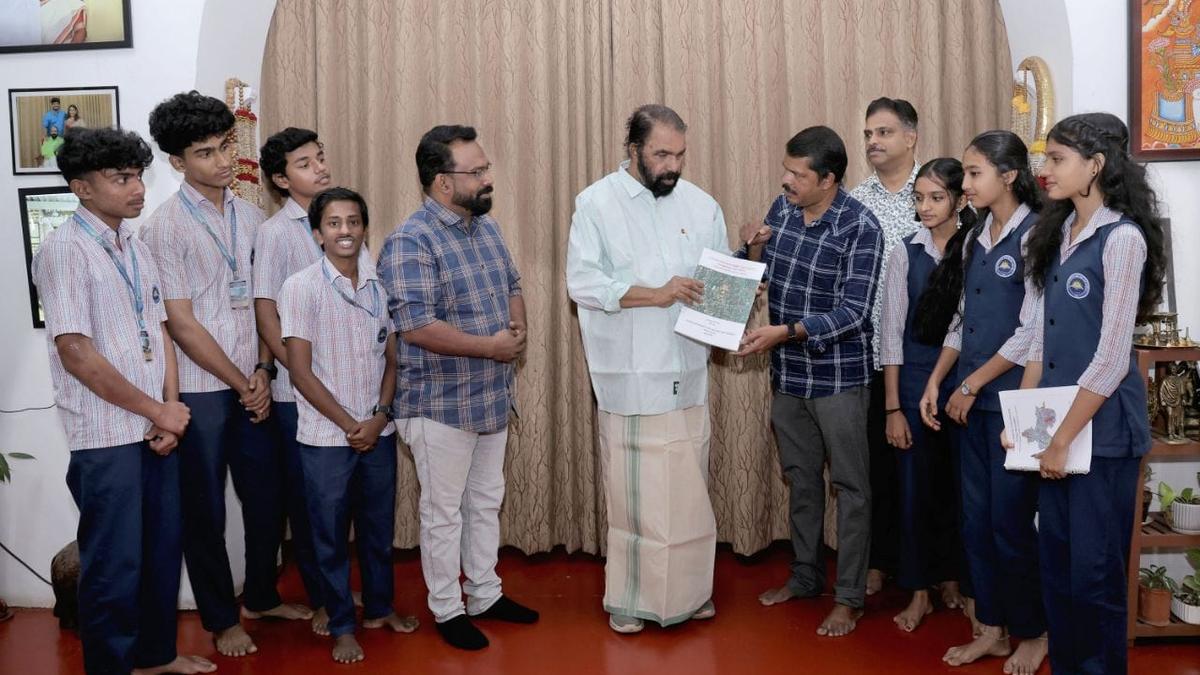
Kerala Minister for General Education V. Sivankutty releases the atlas ‘Resource Maps for Urban Planning – Attingal Municipality’ by handing it over to teacher coordinator S. Suresh Kumar in the presence of students on Wednesday.
| Photo Credit: special arrangement
What if a local body planning to improve agricultural productivity in its limits knew where exactly the soil was the most fertile to enable quick and smart decision making on where and which crops to plant? Or if it could invest in a major infrastructure development project confident that the site location was not prone to flooding?
In Attingal municipality in Kerala, this has been made possible through an atlas ‘Resource Maps for Urban Planning – Attingal municipality.’ What makes this atlas novel is that it is not the outcome of an administrative exercise. The 26 thematic maps in it are the result of a student participatory approach to local planning and disaster preparedness in a step towards a sustainable future for the municipality.
The initiative stems from an academic master plan prepared for Geography at Government Model Boys’ Vocational and Higher Secondary School, Attingal, for the current academic year. The master plan ‘School campus shaping learning experiences: A geographical exploration’ details the learning experiences possible on the school campus for the higher secondary students who study Physical Geography in Plus One and Human Geography in Plus Two.
Courtesy the efforts of their teacher S. Suresh Kumar, this experiential learning was applied to real-life situations in the municipality to come up with an excellent model where students can contribute to local development and disaster managment.
One of the activities in the master plan involved collection of soil samples from the campus and understanding its characteristics using pH meters. The students were taught how to use a mobile app ‘Mannu’ was used to cross-check their findings. Then, it was time to take this knowledge outside the campus and use it to collect soil samples from wards in Attingal municipality using GPS, plot it on a map, and understand the soil character in the wards.
Mr. Suresh Kumar says the flood hazard index map for the municipality, a vital component of the atlas, was inspired by the ‘Risk Informed School Map’ project of the Samagra Shiksha Kerala that is assisted by UNICEF. The flood hazard index was calculated for all 31 wards in the municipality and then mapped with the support of the Institute for Climate Change Studies to aid scientific planning of infrastructure projects and improve disaster preparedness.
A ready reckoner for planning
If all local bodies are to come out with such thematic maps through a student participatory approach, it will be possible to create a spatial data bank that can be published as a ready reckoner for use during the planning process, points out Mr. Suresh Kumar, terming it a possible model for the country.
Kerala’s Minister for General Education V. Sivankutty released the resource map atlas and the academic master plan at his official residence on Wednesday.
Published – March 04, 2026 02:48 pm IST