Youngsters roam in rain near the Red Fort in New Delhi on September 30, 2025.
| Photo Credit: SHASHI SHEKHAR KASHYAP
India received 8% more monsoon rain this year than normal, the fifth-highest since 2001 and the 38th highest since 1901, the India Meteorological Department (IMD) said on Tuesday.
Editorial | Déjà vu: On India’s monsoon vulnerabilities
The IMD considers only the rain from June 1 to September 30 to calculate monsoon data.
Also Read | Boom-and-bust cycles of sardine linked to monsoon and oceanographic changes, says CMFRI study
While the southwest monsoon season largely boded well for agriculture by boosting storage in reservoirs, it wreaked havoc in several parts of the country – particularly in north India – leading to loss of life and property.

Seasonal rainfall over northwest India, central India, and south peninsula, were 27%, 15% and 10% more than their seasonal averages. However, rainfall in east and northeastern India was 80% of what those regions usually get. Rainfall over northwest India was 74.79 cm, the highest since 2001 and sixth highest since 1901, while the rainfall over east and northeast India was 108.9 cm, the second lowest since 1901.
The department’s forecasts – beginning April and updated in subsequent months – has consistently pointed to seasonal rainfall being “above normal” or at least 4% more than the long period average of 87 cm as per the IMD forecast. Overall, the monsoon rainfall was 93.7 cm.
The monsoon season saw extremely heavy spells in several parts of northern and southern India, thanks to the conjoining of storms that originated in the Mediterranean region, along with the monsoon trough that hovers over the Indian landmass during the monsoon season.
When parsed by months, rainfall was 9% more than what is usual in June, 5% more than in both July and August, and 15% excess of that in September.
The southwest monsoon advanced over the South Andaman Sea and Nicobar Islands on May 13, 2025, nearly nine days ahead of the normal schedule. It arrived in Kerala on May 24, ahead of the usual onset date of June 1, and covered the entire country by June 29, earlier than the normal date of July 8.
Storm effect
There were seven monsoon depressions, or sub-cyclonic storms that form in the Arabian Sea and the Bay of Bengal during the season. Of the seven, one intensified into a deep depression. Storms falling in this category last an average of 69 days against a normal of 55, contributing to the extended spells of heavy rain.

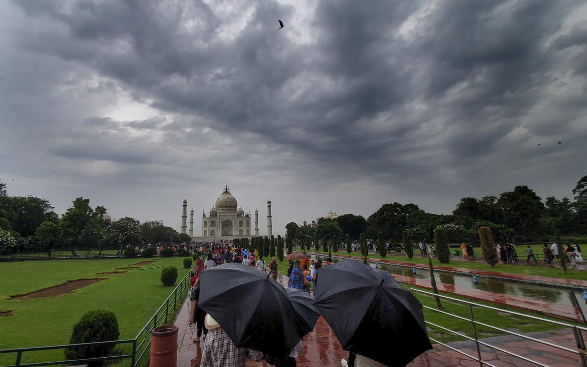
Dark clouds hover over the Taj Mahal in Agra, Uttar Pradesh, on Tuesday, September 30, 2025. Though the monsoon system has not fully withdrawn and will prevail over the next couple of weeks, the IMD does not count this rain in its quota of monsoon rainfall.
| Photo Credit:
PTI
Though the monsoon system has not fully withdrawn and will prevail over the next couple of weeks, the IMD does not count that rain in its quota of monsoon rainfall. For October, the agency has forecast ‘above normal’ rain in the country, except for parts of north and northwest India.
While a La Nina is expected to form in the central equatorial Pacific Ocean and it usually means a stronger winter, IMD Director-General M. Mohapatra said this wasn’t always the case. A forecast for winter (December, January and February) will be available around November, he added.
Published – September 30, 2025 09:47 pm IST


