


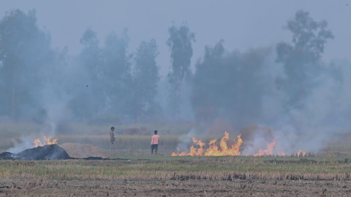
The Environment Ministry has repeatedly claimed that fire counts in Punjab and Haryana fell by 92% and 90% respectively since 2021, citing this as evidence of a sharp decline in stubble burning and proof of the effectiveness of measures in the two states. File
| Photo Credit: The Hindu
The use of ‘fire counts,’ — satellite-derived estimates of active fires — to gauge the extent of stubble burning in Punjab and Haryana may be misleading.
The Environment Ministry has repeatedly claimed that fire counts in Punjab and Haryana fell by 92% and 90% respectively since 2021, citing this as evidence of a sharp decline in stubble burning and proof of the effectiveness of measures in the two states.

However, when data from a different satellite were used to compute another parameter called ‘burnt area,’ — the actual land area affected by fire — the reduction was more gradual, at around 30%, falling from about 31,500 sq km in 2022 to 19,700 sq km in 2025 (as of Nov 25th), says a study by iForest, a research outfit, that analysed data from multiple satellites used to track stubble burning in Punjab and Haryana.

“The government should stop using fire counts as a proxy for gauging a decline or increase in stubble burning,” said iForest CEO Chandra Bhushan, adding, “The smoke that is detected by satellite sensors offers better representation of the land burned. Small fires are often missed by satellites.”

Currently, all of India’s official estimates rely on data provided by the Consortium for Research on Agroecosystem Monitoring and Modeling from Space (CREAMS) of the Indian Agricultural Research Institute (IARI) and are built on NASA’s Moderate Resolution Imaging Spectroradiometer (MODIS) on the Terra and Aqua satellites and the Visible Infrared Imaging Radiometer Suite (VIIRS) on the Suomi-NPP satellites.
These satellites orbit the Earth’s poles and observe India only at fixed times of the day, from 10:30 am to 1:30 pm. Their sensors are only able to capture active fires and unable to compute the actual number of fires over, say, a 24-hour period.

“These monitoring gaps have far-reaching implications. Fires missed by polar-satellite sensors lead to underestimated emissions, mischaracterised aerosol and particulate-matter loads, and incorrect simulations of air-quality dynamics across India,” a press statement from iForest noted. “For example, the contribution of stubble burning to Delhi’s air pollution was highly underestimated this year because MODIS/VIIRS captured only a small fraction of active fire counts. This bias now affects policymaking and regulatory action, weakening the evidence based on which interventions are designed.”
To arrive at their burnt area estimates, iForest used data from the Multi-Spectral Instrument of the Sentinel satellite. Though also a polar-orbiting satellite, passing over India only about once in five days and whose data is available only with a lag of 8-15 days, it is the only one of its kind able to calculate ‘burnt area’ at a resolution of 100m by 100m.
Another set of satellite data used in the analysis was the Meteosat 8 and 9, with the sensors Spinning Enhanced Visible and Infrared Imager (SEVIRI). Unlike the other satellites, this one is ‘geostationary,’ meaning it continuously looks at the same spot and can, thus, provide data every 15 minutes. However, this satellite cannot calculate the ‘burnt area’ and can only compute fire counts (like MODIS and VIIRS). Situated 36,000 km from Earth, it could only detect ‘large fires’ with a much coarser resolution of 4km x 6km. “While it might not provide accurate information on fire counts, this satellite data clearly showed that since 2022, most of the fires were concentrated in the evenings – outside the detection time of the polar satellites. In Haryana, fires have always been set around evening. Which means that the true number of fires in the state has always been undercounted,” said Mr Bhushan.
A study published last month in the peer-reviewed journal Current Science, led by scientists at the Space Applications Centre, ISRO, also used SEVERI data to underline that stubble burning had shifted towards the evening to avoid polar satellites and that there was an increasing trend in fires over Punjab from 2020 to 2024, whereas VIIRS and MODIS data suggested a declining trend. The scientists, in their study, said that both polar and geostationary-satellite data ought to be used for an accurate picture of stubble burning.
While the government is aware of the limitations of its satellite analysis and has been ordered by the Supreme Court to conduct a “more thorough” investigation into fire counts in the “evening,” it still hasn’t publicly released the burnt area data, citing methodological limitations. “While there has been some success in limiting farm fires in Punjab, a lot more work is required. The contribution of stubble burning is much more than the 5% -10% currently assumed,” Bhushan added.
Published – December 08, 2025 11:05 pm IST