


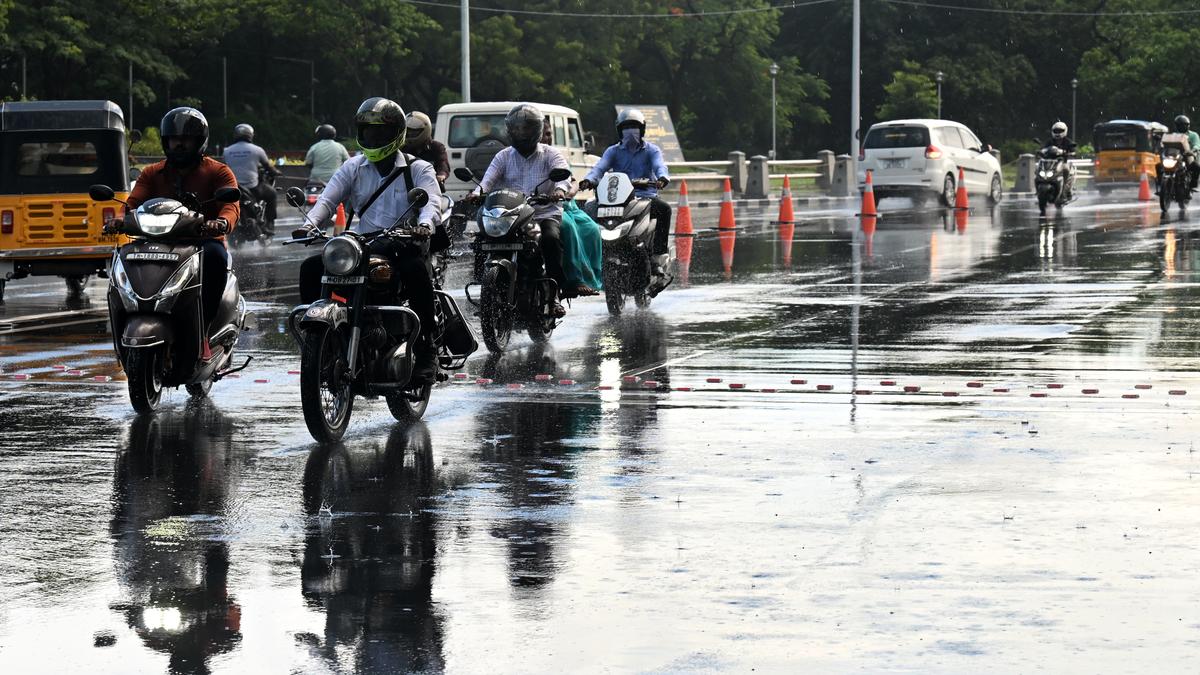
According to the RMC, an upper air cyclonic circulation over Comorin area triggered the first spell of monsoon showers, as seen on Rajaji Salai in Chennai on Thursday.
| Photo Credit: JOTHI RAMALINGAM B.
The Northeast monsoon, which brings a major share of Tamil Nadu’s annual rainfall, set in on Thursday, marking an onset ahead of its usual date of October 20. The seasonal rains are expected to trigger intense downpours across several districts till October 22.
The Regional Meteorological Centre (RMC) declared the simultaneous exit of Southwest monsoon from the country and the onset of Northeast (NE) monsoon over parts of southern peninsular region, including Tamil Nadu, Puducherry and Karaikal, on Thursday.
While wet weather is likely to persist across the State till October 22, heavy rainfall is expected to continue over various districts, including coastal and delta regions.
The prevailing upper air cyclonic circulation over the Comorin area, which brought fairly widespread rainfall across the State, and easterly winds were key indicators for the arrival of NE monsoon.
It may be recalled that the State experienced an early onset of NE monsoon last year as well, on October 15. It had signed off on a positive note, recording 33% excess rainfall.
This year, the monsoon’s first spell brought intense downpour over many places. In the 24 hours ending 8.30 a.m. on Thursday, Kayalpattinam and Thoothukudi received very heavy rainfall of 15 cm, followed by Thiruchendur with 13 cm. Several other places, including Ranipet, Tirunelveli, and Mayiladuthurai also reported heavy rainfall.
The monsoon is set to churn back-to-back weather systems in the coming week. B. Amudha, Head (Additional in-charge), RMC, said a low pressure area developing over the south Arabian sea around October 18 may influence rainfall in a few districts of south and ghat areas.
“There will be more clarity on the impact once the system forms. Similarly, another low pressure area is likely to emerge over southeast Bay of Bengal around October 24. It is expected to intensify further. We are monitoring its evolution and possible impact on Tamil Nadu,” she said.
Ms. Amudha said that early or delayed onset of monsoon does not necessarily have a direct correlation with its overall performance. In most of the past 15 years, monsoon has ended as normal or excess over Tamil Nadu.
The RMC has issued an orange alert for five districts, including Tirunelveli and Virudhunagar, as isolated rainfall of very heavy intensity is likely on Friday. It has forecast heavy rainfall for 14 other districts, including Madurai, Coimbatore, and Mayiladuthurai. Chennai will continue to experience light to moderate rainfall till Saturday.
Water release increased
Meanwhile, the Water Resources Department increased water release from the Poondi reservoir in Tiruvallur district to 4,500 cubic feet per second on Thursday, due to heavy inflow from multiple sources. The water level in the reservoir is rising steadily.
Officials said a portion of water released into Kosasthalaiyar river is diverted to Cholavaram tank for storage, while the rest is channelled to check dams.
Published – October 17, 2025 12:33 am IST